
The Bir Bara Banghal trek crosses from Manali to Bir over two Himalayan ranges, on the route Gaddi shepherds have used for generations to move their flocks between summer pasture and the valleys below. Our itinerary takes 19 days, reaches a high point of 5,080 m (16,666 ft), and goes through Bara Banghal, widely held to be the most isolated inhabited village in Himachal Pradesh.
Nobody walks this for a viewpoint. It’s a long, committed traverse through country with no road, no resupply and no shortcuts, on a trail that exists because people and animals still use it.
What Makes This Route Different
Most Himalayan treks go up a valley and come back down the same one. This one crosses the range system. Out of the Kullu valley, over the Pir Panjal, through the Ravi headwaters to Bara Banghal, then over the Dhauladhar into Kangra and down to Bir.
Three things follow from that.
You finish somewhere else. Manali at the start, Bir at the end. Two valleys, two cultures, two climates. Not many Indian treks give you that.
There’s no bail out. Between the two high crossings, the only way out is forwards, or back the way you came, on foot, over a pass. That’s what makes it a committing route.
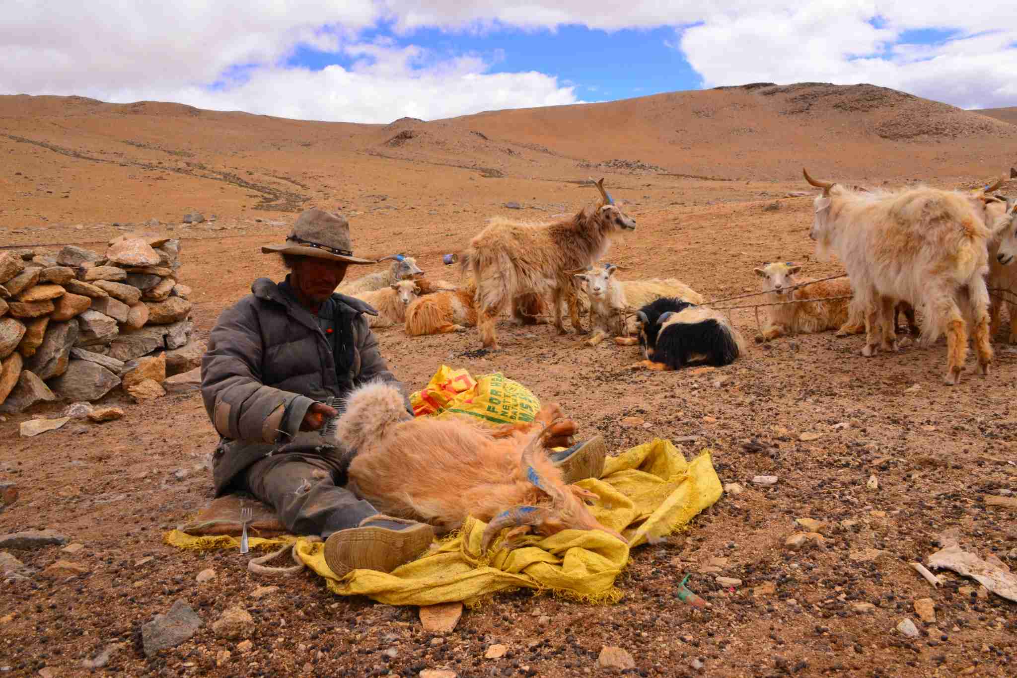
It’s a working trail. You share it with Gaddi shepherds and their flocks. The Gaddi are a pastoral community who move with their animals, and they’ve used these passes for generations to get livestock between the high summer grazing around Bara Banghal and the markets and winter pasture near Bir, Barot and Baijnath.
The Route
It breaks into three phases.
Phase One: Out of Kullu, Over the Pir Panjal
From Manali the trail climbs out of the Manalsu side valley, through forest and up into open grazing ground, gaining height steadily over several days to the high crossing. This is the biggest altitude on the route and the serious part of the trek. A high pass with snow on it well into the season, approached from a camp high enough that you feel it.
Phase Two: The Ravi Headwaters and Bara Banghal
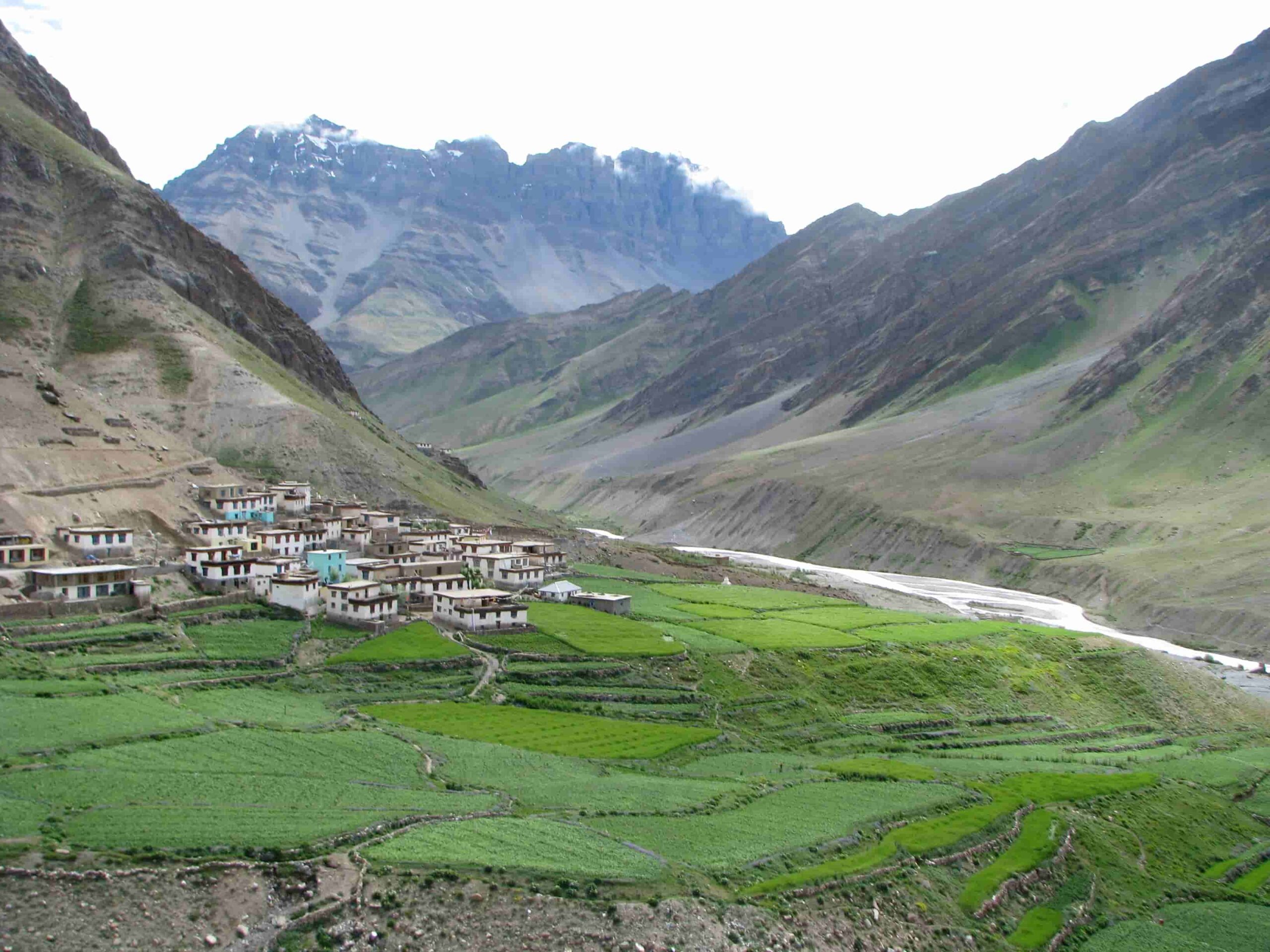
Over the pass the route drops into the upper Ravi catchment and follows it down through one shepherd ground after another. Grazing meadows with names and no buildings. Eventually it reaches Bara Banghal village at around 2,500 m.
Bara Banghal is the point of the whole trek. It’s a Gaddi village with no road access whatsoever. Everything in it arrived on foot or on an animal, over a pass. The residents leave for the worst of the winter and come back in spring. Walking in after a week on the trail, from the direction the shepherds come from, is a very different thing from being driven to a viewpoint.
Phase Three: Over the Dhauladhar to Bir
From Bara Banghal the route climbs again to cross the Dhauladhar range at the Thamsar Pass, around 4,750 m, then drops through Rajgundha and the Barot side into Kangra, finishing at Bir, the paragliding town, at roughly 1,400 m.
The descent off the Dhauladhar is long. You lose over 3,000 m in that final phase, which punishes knees and rewards anyone who packed poles.
The Trek at a Glance
| Duration | 19 days |
| Start and finish | Manali to Bara Banghal to Bir |
| Difficulty | Moderate |
| Highest point | 5,080 m (16,666 ft) |
| Maximum group size | 12 |
| Ranges crossed | Pir Panjal and Dhauladhar |
| Price | ₹133,000 per person |
| Included | Guides, camping equipment, all meals on trek, permits, support staff |
That grade of Moderate refers to technical difficulty, not effort. There’s no climbing and no glacier travel, but 19 days of consecutive walking with two high crossings is a serious endurance proposition. Read it as technically straightforward and physically demanding.
Who the Gaddi Are
The Gaddi are a pastoral community of Himachal Pradesh who move seasonally with their flocks, historically centred on the Bharmour and Chamba region. Their year is built around taking sheep and goats between winter grazing in the lower Kangra and Chamba valleys and summer pasture in the high meadows north of the Dhauladhar.
That migration is why the passes on this route have trails at all. The Thamsar is usually passable from about mid June to mid October, and the Gaddi migration follows that window.
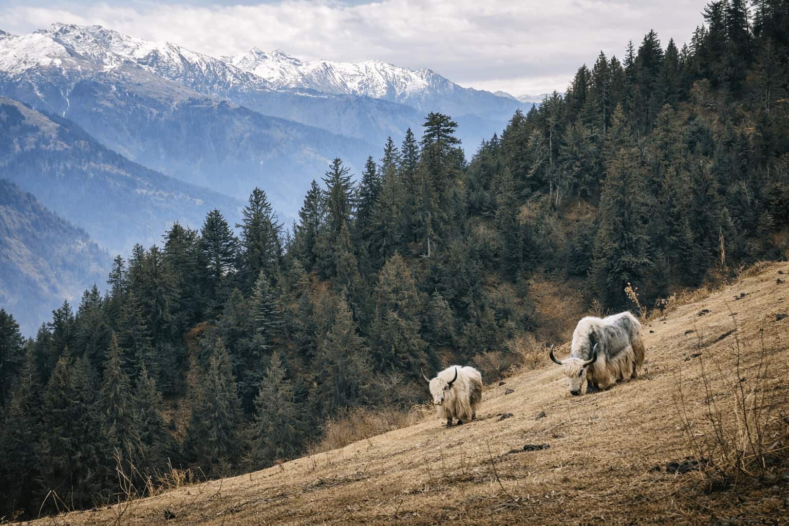
Walking this in season means meeting flocks of several hundred animals on the trail, shepherds camped on the same grounds you are, and a landscape that’s being worked rather than preserved. For most trekkers that turns out to be the most memorable part of the trip. It’s also a good reason to walk with guides who know the families and the etiquette.
Season
| Period | Conditions |
|---|---|
| Mid June to early July | Passes opening. Snow still on the high crossings, rivers rising with snowmelt |
| July to August | Monsoon on the Kangra side. Heavy rain, slippery ground, vegetation thick enough to hide the trail |
| September to early October | The strongest window. Settled weather, clear air, both passes open, shepherds moving down |
| Mid October onwards | Snow closing the passes. The route shuts |
September into early October is what we recommend for international clients, for the same reasons it works across the range. Settled weather, the clearest views of the year, and both passes reliably open.
Fitness and Preparation
Nineteen is the number that matters. Day eight is nothing like day one, and most people underestimate what consecutive long days do to you, especially with high crossings sitting in the middle of them.
Build endurance rather than speed. Long back to back days on hills with a loaded pack. Six hours on Saturday and six more on Sunday teaches you more than one hard session.
Train the descent. Over 3,000 m of it in the final phase is where the damage happens. Walking downhill loads your quads and knees in a way that going uphill doesn’t prepare you for.
Respect the altitude. The route tops out above 5,000 m. CDC guidance notes that fitness doesn’t decide who gets acute mountain sickness. Rate of ascent and sleeping altitude matter more. The length of this itinerary is part of what makes its ascent profile workable.
Wear your boots in properly. On a 19 day trek a boot problem isn’t an inconvenience, it’s the trip. Our season by season packing guide goes into footwear and the layering system in detail.
What’s Included and What You Bring
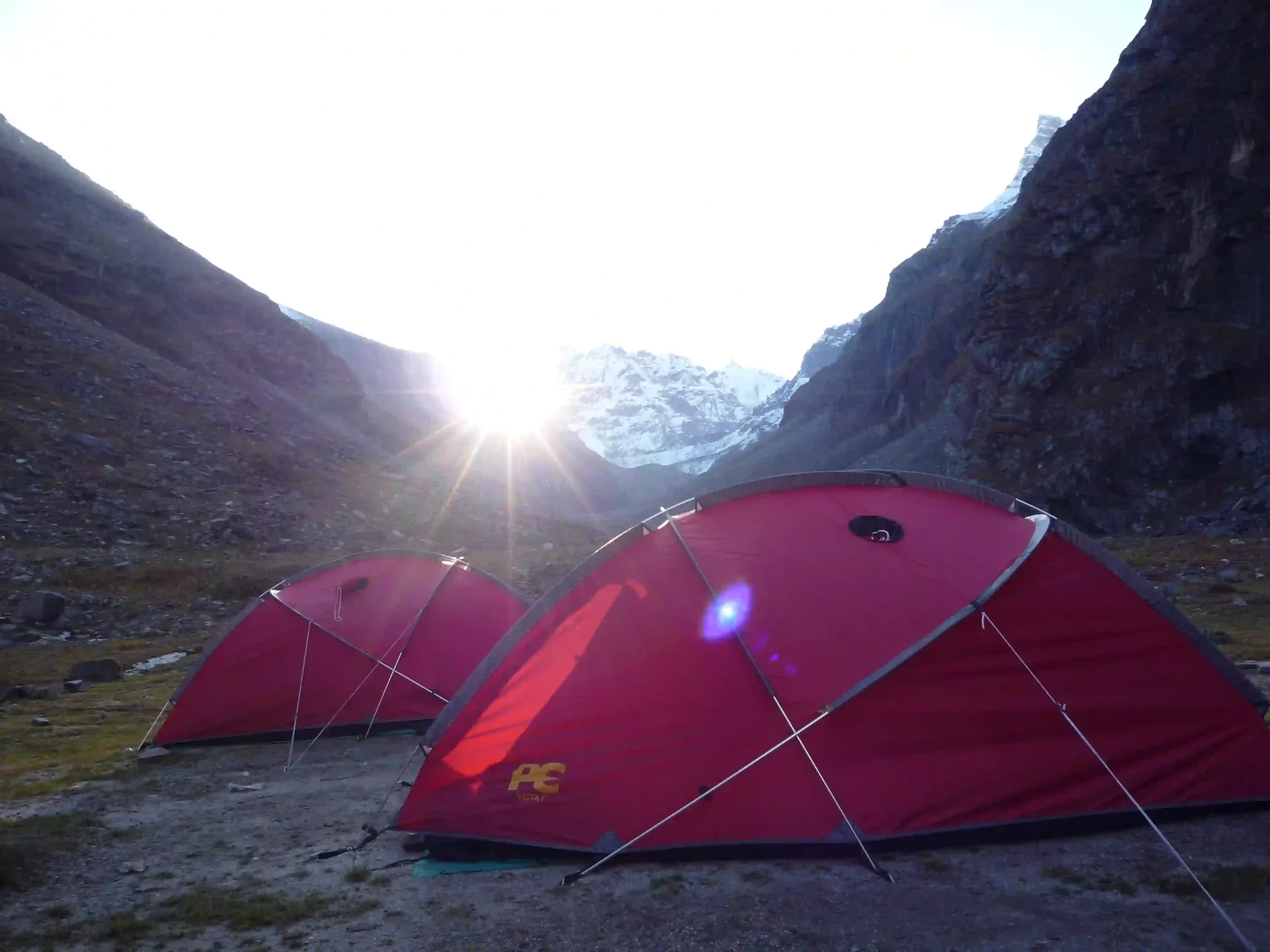
On our itinerary we cover guides and support staff, camping equipment, every meal on trek, and permits.
You bring the personal side. Clothing in a proper layering system, boots you’ve worn in, sunglasses, personal medication, documents and insurance. Because the route goes above 5,000 m, check your travel insurance actually covers that altitude. Plenty of policies cap out at 4,000 m or 5,000 m, and that’s the single most common gap we see with international clients. Our guide to choosing an expedition operator sets out the questions worth asking us, and anyone else, before you book.
How It Compares
| Bir Bara Banghal | Hampta Pass | A high pass Ladakh traverse | |
|---|---|---|---|
| Duration | 19 days | 4 to 5 days | 10 to 14 days |
| Highest point | 5,080 m | About 4,270 m | Above 5,000 m |
| Point to point | Yes. Manali to Bir | Yes, short | Yes |
| Cultural content | Gaddi shepherd country, Bara Banghal village | Limited | Monastic villages |
| Other trekkers | Very few | Many | Moderate |
| Commitment | High. No road access mid route | Low | High |
If you’ve got two weeks and you want a Himalayan traverse that still feels like travelling rather than being a tourist, this is the strongest thing in Himachal Pradesh.
Booking the Bir Bara Banghal Trek
Into Wild Himalaya Expeditions has run guided treks in the Indian Himalayas since 2004, out of Manali. The Bir Bara Banghal trek runs at a maximum group size of 12, with local guides and crew, full camping support, and all permits handled.
Talk to our team about dates, your trekking background, and what the 19 days will ask of you.
Frequently Asked Questions
What Is the Bir Bara Banghal Trek?
A 19 day traverse from Manali to Bir, crossing the Pir Panjal and Dhauladhar ranges on the route Gaddi shepherds use to move their flocks. It passes through Bara Banghal, the most isolated inhabited village in Himachal Pradesh, and reaches a high point of 5,080 m (16,666 ft).
How Difficult Is the Bir Bara Banghal Trek?
Graded Moderate on technical difficulty, with no climbing or glacier travel, but physically demanding. Nineteen consecutive trekking days, two high crossings and over 3,000 m of final descent make endurance the limiting factor rather than technique.
Where Is Bara Banghal Village?
In the upper Ravi catchment at around 2,500 m, between the Pir Panjal and Dhauladhar ranges in Himachal Pradesh. It has no road access. Reaching it means crossing a high pass on foot, from Manali, Bir or the Chamba side.
How Long Is the Bir Bara Banghal Trek?
Nineteen days on our itinerary, Manali to Bir, with a maximum group size of 12.
What Is the Best Time for the Bir Bara Banghal Trek?
September into early October is the strongest window. Settled weather, clear views, both passes open. The passes are generally crossable from mid June to mid October, but July and August bring heavy monsoon rain on the Kangra side.
How High Is the Thamsar Pass?
Around 4,750 m, roughly 15,600 ft. It crosses the Dhauladhar range, linking Bara Banghal with the Barot valley and the Bir and Billing area, and is typically open from mid June to mid October.
Who Are the Gaddi Shepherds?
A pastoral community of Himachal Pradesh who move seasonally with their flocks of sheep and goats, between winter grazing in the lower Kangra and Chamba valleys and summer pasture in the high meadows. Their migration is the reason these passes have established trails.
Is the Bir Bara Banghal Trek Suitable for Beginners?
No. It suits trekkers with previous multi day Himalayan experience or something comparable at altitude. Nineteen days with no road access mid route is not a first trek.
What Does the Bir Bara Banghal Trek Cost?
₹133,000 per person on our itinerary, covering guides and support staff, camping equipment, all meals on trek and permits. Personal equipment, insurance and travel to Manali aren’t included.
Do I Need Special Insurance for This Trek?
Yes. Check it covers the route’s maximum altitude of 5,080 m, plus emergency evacuation and repatriation. Many standard travel policies exclude trekking above 4,000 m or 5,000 m, and this route has no road access for several days at a stretch.


